Carte de randonnée Ordnance Survey North Harris et Loch Seaforth - OS Explorer Map 456 (papier) Plus d'informations
Carte topographique Explorer Ol3 de la vallée de Meon, Portsmouth, Gosport et Fareham Plus d'informations
Carte des Explorateurs OS OL12 du Parc National de Brecon Beacons - Zone Ouest et Centrale Plus d'informations
Carte topographique OL 58 de Braemar, Tomintoul et Glen Avon avec Beinn A' Bhuird et Ben Avon Plus d'informations
Carte topographique Ordnance Survey d'Exmouth et Sidmouth - Carte en papier OS Explorer 115 Plus d'informations
Carte OS Explorer 118 de Shaftesbury et Cranborne Chase - Poole, Wimborne Minster et Blandford Forum (Papier) Plus d'informations
Carte topographique Ordnance Survey de Romsey, Andover et Test Valley - Carte Explorer OS 131 (papier) Plus d'informations
Carte topographique de Chippenham et Bradford-on-Avon - Carte explorateur OS 156 (papier) Plus d'informations
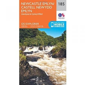
Carte topographique Ordnance Survey de Newcastle Emlyn, Llandysul et Cynwyl Elfed - Explorer Map 185 (Papier) Plus d'informations
Carte topographique Ordnance Survey de Lake Vyrnwy et Llanfyllin - Vallée de Tanat (Papier) Plus d'informations
Carte Ordnance Survey de la Péninsule de Lleyn Est - Carte Explorateur OS 254 (Papier) Plus d'informations
Carte de l'Ordonnance des Terrains de Sheffield et Barnsley - Carte Explorateur OS 278 (Papier) Plus d'informations
Carte de l'Ordnance Survey de Southport et Chorley - Carte Explorer OS 285 (Papier) Plus d'informations
Carte OS Explorer de Loch Etive et Glen Orchy - Dalmally, Tyndrum, Bridge Of Orchy & Taynuilt (Papier) Plus d'informations
Carte OS Explorer 379 de Dunkeld, Aberfeldy et Glen Almond - Randonnée et Aventure Plus d'informations
Carte de l'Ordnance Survey d'Ardnamurchan - Moidart, Sunart et Loch Shiel (1 : 25 000) Plus d'informations
Carte Explorateur OS des Lacs Anglais - Zone Nord-Ouest (Keswick, Cockermouth & Wigton) 1:25 000 Plus d'informations